 [1]
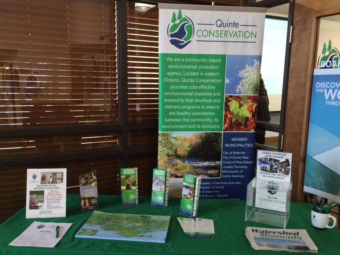
[1]A table set up at Quinte Conservation headquarters to show the many uses of geographic information systems (digital mapping). Photo by Justin Medve, QNet News
By Justin Medve [2]
BELLEVILLE – Quinte Conservation [3] opened visitors’ eyes to the great outdoors and the science behind it Wednesday at its first-ever Geographic Information System [4] Day event.
GIS Day was founded in 1999 by Esri [5], a company whose software Quinte Conservation uses daily. This year, GIS Day was celebrated in the middle of GeoWeek [6], an event founded over 25 years ago by National Geographic. Both events aim to promote the fun and technical aspects of geography and GIS software.
Quinte Conservation dedicated a large room to posters, maps and interactive displays to teach people of all ages about digital mapping and its many uses.
Outside, there was a brief tutorial on geocaching and a chance to take part in it.
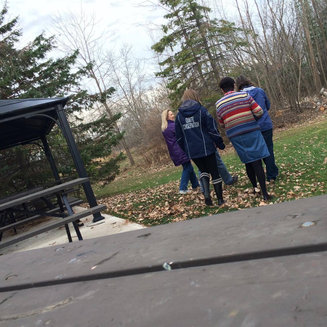 [7]
[7]Geocachers head down one of Quinte Conservation’s many trails. Photo by Justin Medve, QNet News
Geocaching is a GPS-driven scavenger hunt that uses map co-ordinates to lead people to a general area where a small, quirky object is hidden. Co-ordinates are posted on the geocaching website [8] by whomever places the treasure, otherwise known as a cache. People download the co-ordinates and follow directions to the cache, taking in nature along the way. Once it’s found and examined, people are asked to put the cache back for other geocachers. People will often post or comment to confirm the cache is still hidden properly.
Belleville resident Sandra Arseneau had been geocaching before GIS Day, but brought along a friend to share the experience. Arseneau said she thinks geocaching is a great way to see outdoor features that people often don’t notice.
“Once you start looking outside, you realize there’s more than trails. There’s birding, there’s waterways, there’s more outdoor activities than people are being exposed to,” Arseneau said. “It’s a fun event and it’s something that anybody can do.”
That shows, because there were people of all ages in attendance.
GIS database specialist Amy Dickens explained that the work Quinte Conservation does with GIS primarily involves water safety, as it gathers and examines data about watersheds in the Quinte area [9]. A watershed is the land between two or more river basins.
Dickens said weather forecasting is a main focus.
“If we’re going to flood, we let municipalities and homeowners know,” she said.
Keeping drinking water safe is also important, Dickens said.
“We look at municipal drinking-water sources and determine what the threats are to those drinking water sources to keep the water clean.”
Other uses of GIS software include architecture and climate-change studies. Even maps from the GPS on your phone are created with GIS. Google Maps celebrated its 10th anniversary this year [10].
The next step for GIS software is making it work offline, through sensors and beacons instead of GPS. Then geocaches will be able to provide even more adventure and GIS technicians can further study our environment.
Anyone who attended GIS Day at Quinte Conservation was given a participation certificate to celebrate their new geography knowledge.